| |
Upper Klamath and Lost River Water Quality Monitoring and Modeling
Objective
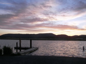
Sunset at Miller Island boat dock
(Photo by S. Poulson, UNR, 27-Jun-2007)
|
The objective of this study for FY23-27 is to provide science-based information
to assist and inform managers on improving water quality while managing
these basins for many purposes, including agriculture, endangered species
protection, wildlife refuges, and downstream water users. This objective
will be achieved through the following inter-related objectives:
- Conduct water quality monitoring and analysis in the Klamath Straits Drain and Lost River
- Conduct water quality and flow modeling. This will include updating
the Klamath W2 models by a.) applying updated model software, b.) updating
the model source code, or c.) updating components of the Link River, Klamath
River, Klamath Straits Drain, or Lost River models. It will also include model
scenarios to examine the effects of operational and other changes to the modeled
waterbodies.
- Conduct water quality research into the characterization of sedimentation and
decay of POM in the Link-Keno reach. This fundamental knowledge will provide direct
information to better manage the system and provide aerobic and anaerobic decay
rates and other information that could be used to improve the quantitative models
in the future.
|
