Hydrogeologic and Geochemical Investigations of Ground-Water |
In Cooperation with Deschutes County Community Development Department |
| Skip site navigation bar and go to main content
Contact: |
 GROUND-WATER LEVEL NETWORK
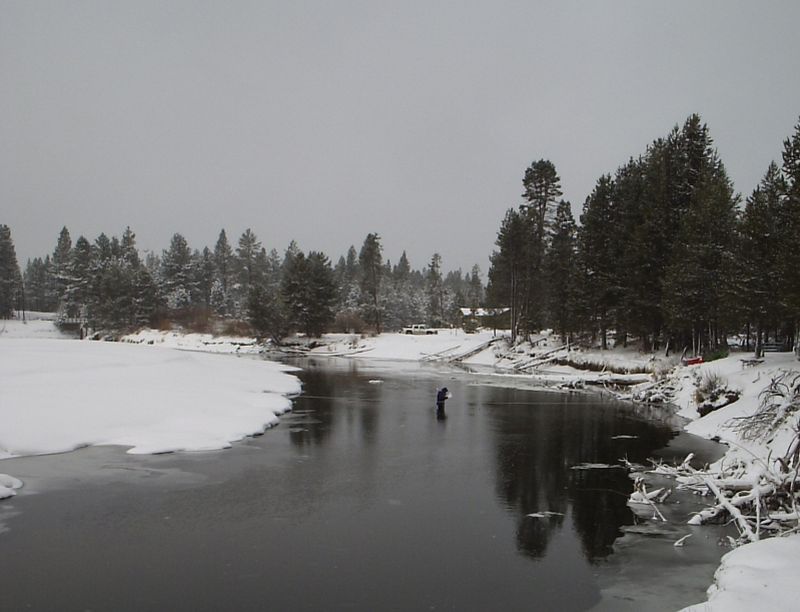
A network of approximately 60 wells was monitored during 1999-2001. These data, plus any water levels that were measured prior to 1999, are available via the clickable-map interfaces described below. |
|
|
|
| Oregon Water Science Center Studies Page Oregon Water Science Center Home Page |
|
![]() U.S. Department of the Interior |
U.S. Geological Survey
U.S. Department of the Interior |
U.S. Geological Survey
URL: https://or.water.usgs.gov/projs_dir/or186/new_site/wl_data.html
Page Contact Information: Oregon Webteam
Page Last Modified: Wednesday, 21-Dec-2016 16:27:02 EST
