Real Time Cameras: USGS - Oregon Water Science Center
Updates at 15 minute intervals 24 hours a day
Press the 'Reload' or 'Refresh' button on your browser to view the most recent image.
(NOTE: Image time stamp should be within 15 minutes of the current time.)
10 to 300 frame loop - Image loop of recent images.
Image Archive - Directory listing of images from the past 7 days.
Updates at 30 minute intervals between 05:00 and 21:00 PST
Press the 'Reload' or 'Refresh' button on your browser to view the most recent image.
(NOTE: Image time stamp should be within 30 minutes of the current time.)
10 to 300 frame loop - Image loop of recent images.
Image Archive - Directory listing of images from the past 7 days.
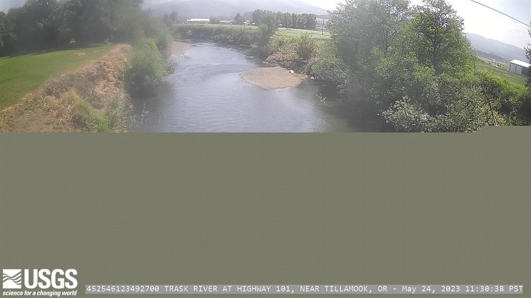
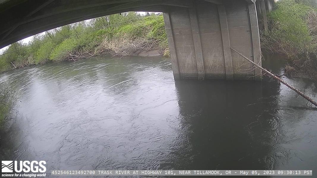
Updates at 30 minute intervals between 04:00 and 21:00 PST; Middle OSS image updates every 15 minutes 24 hours a day when gage height is above 3.75ft
Updates at 30 minute intervals between 07:00 and 21:00 PST
Updates at 30 minute intervals between 04:00 and 20:30 PST
Updates at 30 minute intervals between 06:00 and 19:30 PST
Image updates twice daily at 9am and 3pm PST
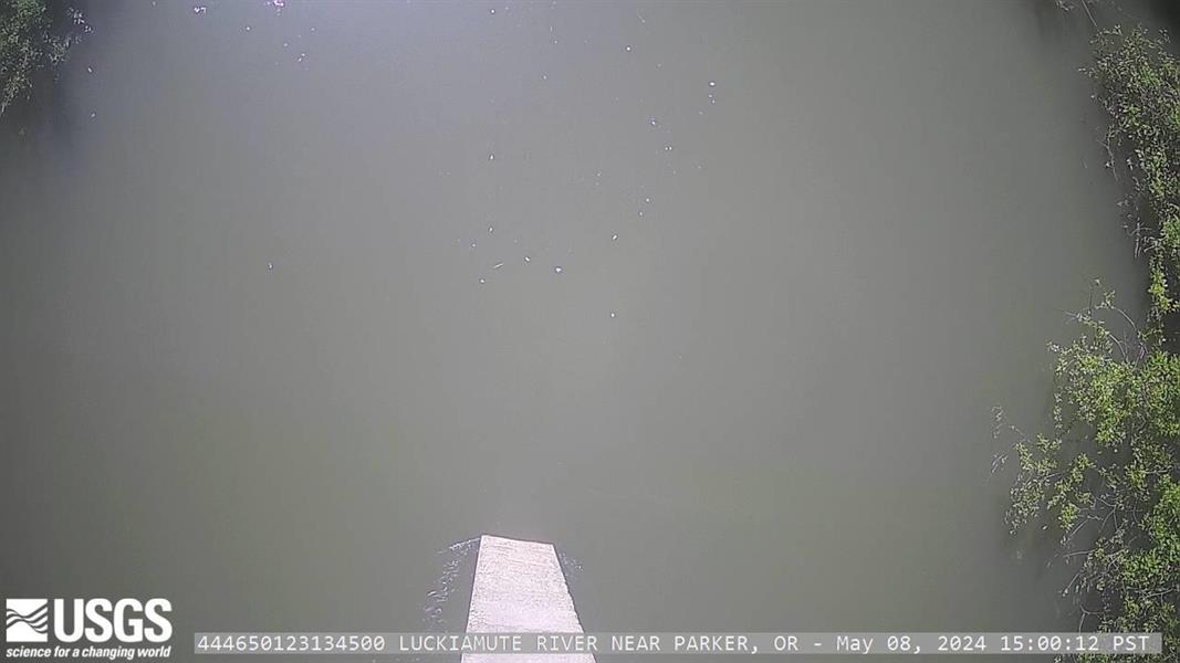
Image updates twice daily at 9am and 3pm PST
Updates at 30 minute intervals between 07:00 and 21:00 PST
Placeholder image, does not update at this time